In the Andes at over 4,000m again… a bit of re-acclimatisation is required. We interrupted the sequence of our blogs slightly for our ‘Dakar Special’ when we had a tougher than expected challenge to catch the Rally in Bolivia. So now please humour our ‘time-warp’ as we step back in time to a few days before the Dakar: we’re leaving the beaches of Arica on New Year’s Day for a last bit of exploring in the Andes of northern Chile before crossing into Bolivia.
Tag Archives: Bolivia Overlanding
The Dakar
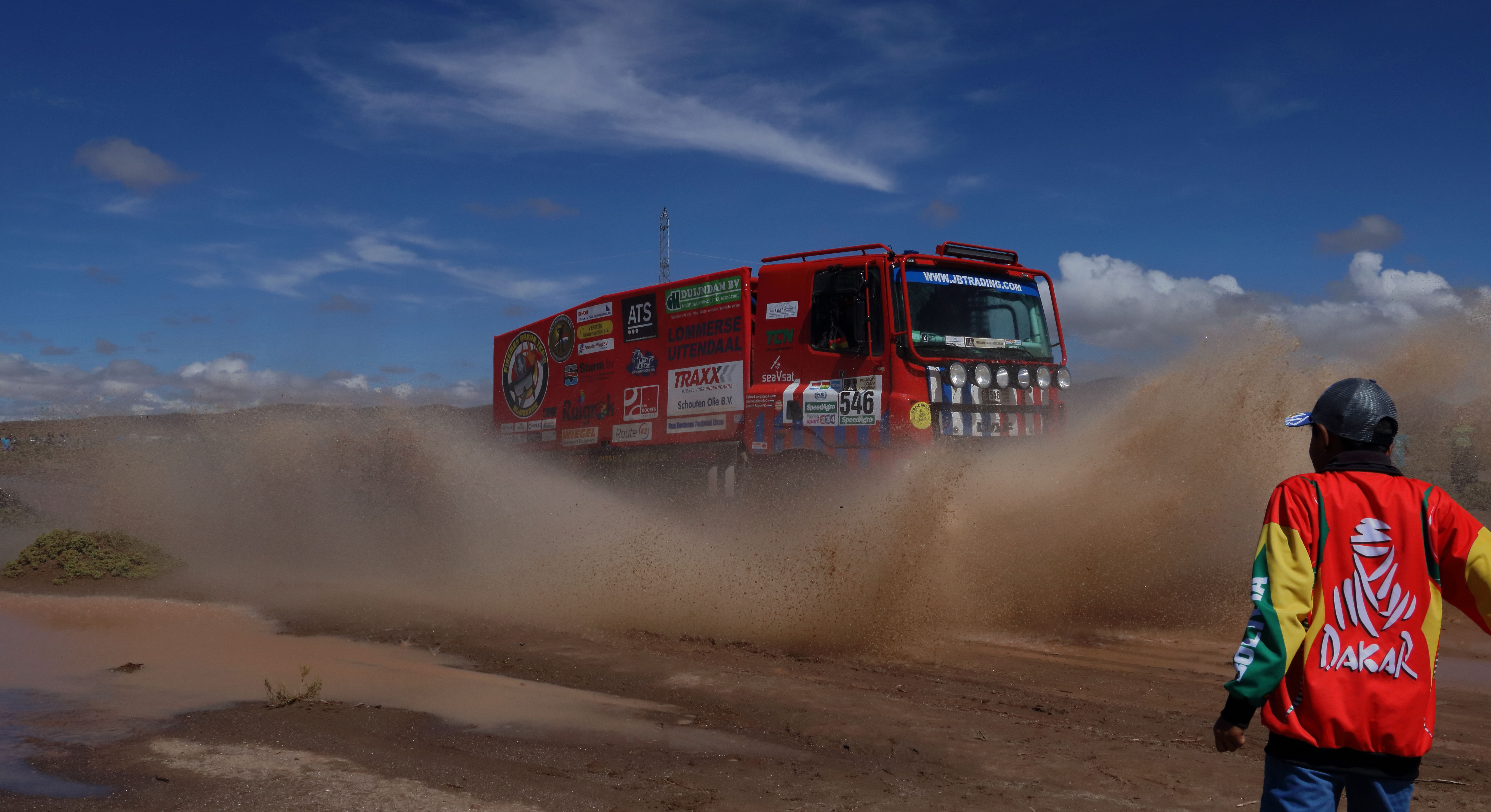
No, we haven’t just upped-sticks and shipped to Africa, we’re in Bolivia for the world famous Dakar Rally 2017. After a load of security shenanigans in West Africa, the rally formerly known as ‘Paris-Dakar’ was shifted to South America where it’s affectionately known by locals as ‘El Dakar’. Here’s the story of our attempt at finding over 400 bikes, quads, cars and trucks charging across the altiplano in 2017, together with our Top Tips if you’re contemplating a trip to see Dakar 2018.
Titicaca and out
Titicaca… the highest lake in the world. More accurately the highest navigable lake, although we don’t know exactly what the difference is. It sits at 3,700m on the altiplano and straddles the Bolivia/Peru border. Bolivia has more than a fair share of natural beauty and this is yet another example of its best. A fitting exit point for us from this scenic country (Click here for route map).

Amazon and Mud
Amazon… the well-known patch of rainforest rather than a profitable on-line retailer. We’re in the Bolivian bit of it known as the Madidi; the most southerly extent of the vast Amazon Basin. To get there we go from Death Road to Rurrenabaque. It’s hot, humid and of course, jungly (see route map).
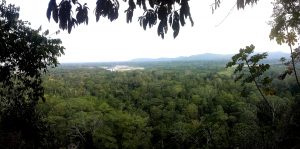
There’s a lot of trees in Madidi
La Paz
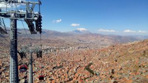
Approaching La Paz we have a mixed impression. The city sits in a spectacularly steep sided valley surrounded by stunning snow-capped mountains. Nice. But we also see a blanket of ‘clag’ hanging over its skyline. Not nice. Emission standards still have some way to go around here! We’re not great fans of mega-cities but we do have a few practicalities to sort out here and we are just a teeny bit interested to have a look around.
Altiplano and whiteness
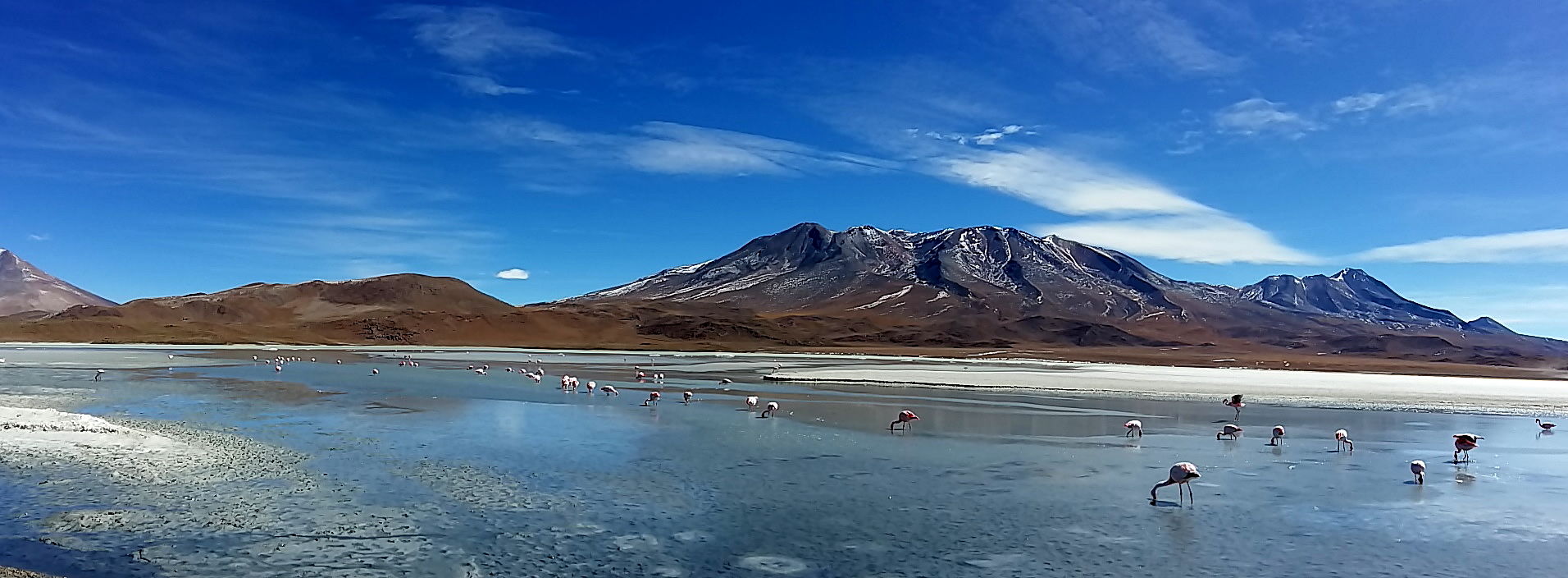
We’re high. Very high. We’ve been plodding around the Bolivian altiplano, often at well over 4,000 m (13,000ft). After the central cities of Sucre and Potosí we’ve moseyed-on down to the remote south-west corner of Bolivia. Volcanos, lakes and the world’s largest salty-pan. We’re driving the Salar de Uyuni (see map).
Back to Bolivia
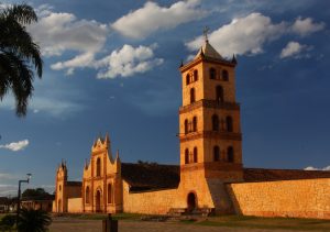
Chiquitania is a land far from Bolivia’s stereotypical image of Andean high peaks, llamas and chunky chaps in brimmed hats and colourful ponchos. Here is Bolivia’s eastern flat, humid wetland punctuated by some scenic red-rock monoliths and some interesting sights. We’re back from Brazil and heading west through Chiquitania to the highlands, but on the way we have the small matter of recovering our deposited food store.
Beginning Bolivia
We never learn our lesson! Crossing a border during the sacred ‘eating of the lunch’ ritual – don’t do it folks! These people take their lunch-break seriously! You only end up with a lot of waiting and not necessarily in an orderly line. But in our excitement at arriving in a new country, we have forgotten this simple principle again! We approach the Bolivian border at around 13:00 hrs and realise ‘the wait’ is on!
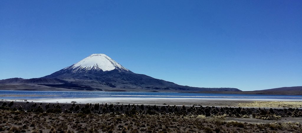
Intro to Bolivia! Great view at the border


