Route planning can be carried out in meticulous detail, or extremely vaguely, or anything in between. Generally, we favour the ‘extremely vaguely’ option, but travelling Chiapas State in south Mexico is an exception to this randomness – a bit of route-planning caution is required. With Mayan ruins planning on the other hand, we’ve developed a reckless tendency to live life on the edge, running a real risk of ‘overload’ and becoming ‘Mayan’d Out’.
Palenque travelling Chiapas
As we approached the southern extent of the ancient Mayan empire some months ago, we promised ourselves that we would only visit the single most spectacular pile of ancient Mayan rubble that each country had to offer. Tazumal in El Salvador, Copán in Honduras, Tikal in Guatemala, Caracol in Belize. But in Mexico we have a dilemma: so many great piles of ancient rubble. Each one promotes itself to convince you that their particular pile of rubble is the ancient Mayan site to see. Our first was Tulum, then Chichén Itzá. We managed to skip Uxmal, Cobá, Edzná and many others but now we’re approaching the much-revered Palenque.
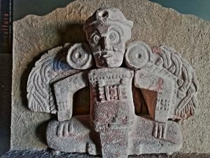
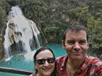
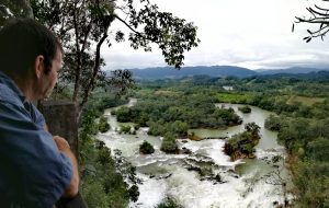
He’s got that ‘Mayan’d Out’ look on his face 🙂
When I first visited Palenque in the mid-90s, its remoteness in the jungle made it a difficult destination for the box-ticking, whistle-stop tourist. It’s now much more on the tourist trail, but it’s still much more ‘exclusive’ than the sites within easy coaching distance of the Cancun-crowds.
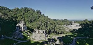
There is a very civilised overlanders campsite within walking distance of the Palenque ruins (Maya Bell, for anyone heading there) where we met several other travellers, including a French couple with an Iveco Daily 4×4 who kind of ‘knew’ us from following our blog for a long time, and a German couple who we had last seen in Salta, Argentina over two years ago! At the site, the lack of crowds made it a pleasure to visit – it’s one of the most impressive collections of ancient rubble in the Mayan world. The dense jungle and the constant drone of howler monkeys in the background add to the atmosphere. We’re glad we broke our one-site per country ‘rule’ for Palenque.
The 570km Detour
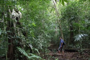
Out in the Lacandon jungle
Heading out of Palenque, the Mex-199 is the obvious route west, cutting across the mountains to the much-visited mountain retreat of San Cristóbal de las Casas. But there’s a bit of argy-bargy along that route right now. The background to the problems is obviously complex, but the up-shot is that certain renegade gangs have been putting up road blocks along the Mex-199 route. They aim to: a) cause disruption thereby garnering publicity for their views; and b) demand money from drivers travelling Chiapas, thereby funding their cause. At first the roadblocks were relatively calm, but their methods became increasingly menacing. Conflicts between drivers and protesters got out of hand and tragedies occurred. Now, even Mexican public and commercial transport no longer take the Mex-199.
If the aim of the road-blockers was to stifle the local economy and rob anyone in the tourist or hospitality industry of their livelihood, then they have succeeded admirably. The vast majority of the regional transport now takes a massive detour, either to the north on the (boring) major highways, or to the south and east on the Mex-307 border route. We took the latter.
On the Mex-307, it’s over 570km from Palenque to San Cristóbal around the Guatemala border and through the heart of the Lacandon jungle. It’s a loooong way. But we’re in no hurry and it’s an interesting route with plenty to see along the way.
Many Falls and Pushing the (Mayan) Limits
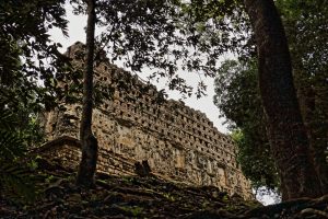
Yaxchilan
Our first stop on the Mex-307 is the fabulous Golondrinas Falls. We’ve seen a lot of waterfalls on our travels and we’re hard to impress these days, but these are worth a stop. The water tumbles over picturesque entrances to caves, into which hundreds of swallows (golondrinas… get it? The name of the falls 😊) fly at sunset to nest for the night. Very atmospheric.
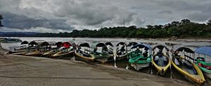
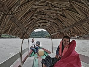
Next along the Mex-307 are the Mayan ruins of Yaxchilán. Now here we hesitate… we’re already well over our ‘allocation’ of ruins for Mexico, but we’ve heard great things about the Yaxchilan rubble. These ruins are remote, with a one hour boat ride up the powerful Río Usumacinta along the Guatemalan border. There’s no mass-tourism here, the boat ride is expensive and we’re in serious risk of rampant apathy if these ruins don’t cut-the-mustard… but we decide to give them a chance.
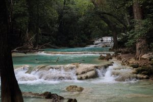
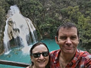
- Not Disney… real falls at Chiflon!
- En route to Yaxchilan
- El Chiflon
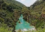
- Las Nubes views – worth a short but steep hike
So did the risk pay off? Well… just about. Yaxchilan ruins are okay. The extremely remote setting in an inaccessible part of dense, impenetrable jungle is probably more attractive than the ruins themselves. We had a lovely river trip, but we really pushed our rubble-tolerance to the limit. We won’t be tempting fate with any further ruins for a while. Thanks ancient Mayans! You provided a fascinating era in history and we’ve been interested to see your ‘edited highlights’ but we’ve had our fill for now 😊.
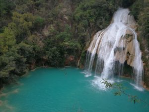
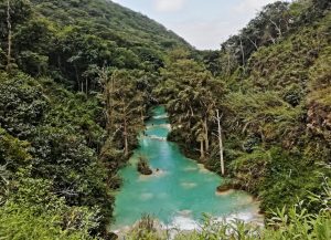
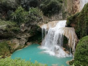
The rest of the 570km detour delivered even more spectacular watery falls. Las Nubes area is fab, then the jaw-droppingly beautiful El Chiflón is both the cherry and the icing on the proverbial cake. Just a little insider Top Tip with this one: go early in the morning, on a weekday… it’s popular!
Be careful what you wish for…
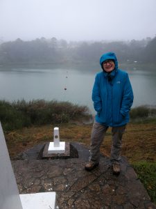
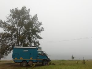
An (allegedly) turquoise lagoon on the Mex/Guat borderline 🙁
Over the last 2-3 months, ever since we dropped down off the central Guatemalan highlands at the end of August, we’ve been sweltering in the tropical heat and humidity. Eastern Guatemala, Belize and the Yucatan Peninsula are all hot and sticky in the prevailing hurricane season. It always cools down at night enough for us to sleep well in Cuthbert (thanks to our marvellous MaxxAir roof-fan 😊) but we have looked forward wishfully to the cooler, higher ground.
Towards the end of our 570km detour loop, we’ve reached said higher ground and have received rather more of the cool climate than we had hoped for! Lagunas Montebello is a large national reserve of several lakes. They are said to be dazzlingly turquoise blue and we had really been looking forward to getting Boaty McBoatface out of his bag to do a bit of kayaking here. Unfortunately, we never got to see the allegedly ‘dazzlingly turquoise’ lakes. All we saw was cloud-fog and drizzly rain at 11C!!! We stayed there two days waiting for it to clear, but locals said it’s the time of year. It often stays like this for days, maybe a couple of weeks. We didn’t fancy hanging around that long. Ho hum! We’d wished for cooler weather and that’s exactly what we got ☹.
Limping to the end of the detour
At the very end of the travelling Chiapas detour route, we cruise into San Cristóbal – well it was actually more like a ‘limp’ than a ‘cruise’. After over 160,000km of sterling service, Cuthbert’s engine fan has recently been showing signs of wear and tear. We’d hoped that it might hang-on a bit longer, but some 60km from San Cristobal, it gave up the ghost. We could still drive, but the engine overheated very quickly on hills, so we stopped every few kilometres to let it cool down. We made it to a great campsite close to town where we can park-up for a while and await a new fan from UK.
Oh… and the windscreen thing… remember from the last blog we were still looking for one of those? Well… we have some tentative but positive good news for that. We won’t tempt fate by spilling the beans just yet as the Grand Plan may not come off. Keep your fingers crossed for good news in the next instalment of “Where’s that windscreen?” 😊
South Chiapas Photo Gallery
- Palenque
- El Chiflon – nice swimming spot if you can stand the cold water
- Cuthbert missing out on the view
- El Chiflon
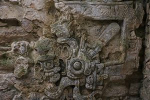
- Mayans knew how to decorate their rubble
- El Chiflon
- boats waiting for tourists
- EL Chiflon
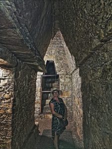
- Inside the Palenque rubble
- An (allegedly) turquoise lagoon on the Mex/Guat border 🙁
- Las Nubes views – worth a short but steep hike
- En route to Yaxchilan
- This is what you look like when you’re ‘Mayan’d Out’ 🙂
- Yaxchilan
- Not Disney… real falls at Chiflon!
- In the Lacandon jungle

